
How Taiwan’s new AI satellite system aims to speed up early warning against PLA moves
Taiwan's defense ministry has contracted ThinkTron, a Taiwan-Japan joint venture, to develop an AI-powered satellite imagery system. The NT$46.55 million (US$1.45 million) system is designed to analyze satellite images covering 100 square kilometers within minutes, aiming to enhance early warning capabilities against military movements.
The new system's core function is to automate the identification of military assets and activities, such as ships, aircraft, and missile launchers. By using AI to process satellite imagery, it intends to reduce the reliance on manual analysis, potentially shortening the time required to track changes in deployments. This shift from human-intensive to AI-driven analysis is a practical application of machine learning for intelligence gathering.
The contract, awarded by the ministry's Communication Development Office, suggests a strategic move towards integrating advanced AI and geospatial information systems into defense infrastructure. The short timeline for completion, with the system expected by the end of April, indicates an emphasis on rapid deployment. This also offers a look at how AI capabilities are being procured and integrated in the region.
While the specific capabilities of the AI in terms of accuracy or false-positive rates are not detailed, the investment itself points to a belief in AI's potential to improve the speed and efficiency of intelligence operations. The system's ability to analyze a 100 square kilometer area within minutes could offer a quicker operational picture compared to traditional methods, enabling faster response times for early warning.
Share this article
Related reading
6 stories
Mastercard Launches AI Assistant to Simplify Card Benefits
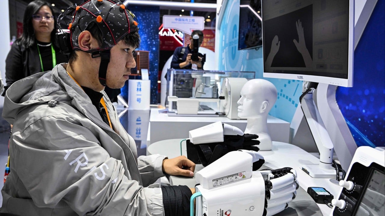
China moves to set global standards for brain-computer interface technology

Visa Tests AI-Powered Business Payments, Introduces New Fraud Controls

An AI apocalypse? Hong Kong’s real challenge is much less dramatic
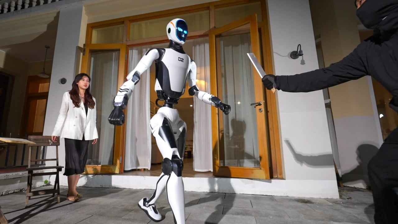
China’s Unitree unveils ‘guardian’ robot that can disarm attackers, lift cars
